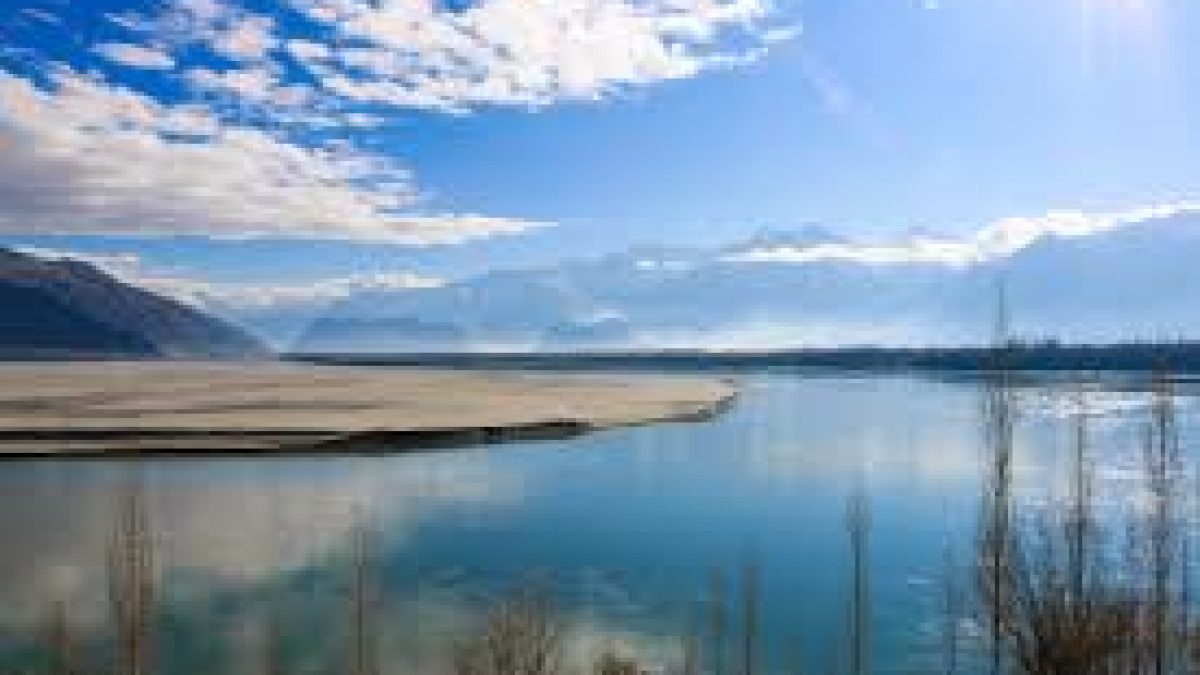
Researchers from Wadia Institute of Himalayan Geology (WIHG), Dehradun, an autonomous institute under the Department of Science and Technology, Govt. of India, have traced the paleoclimatic history of the Indus River in Ladakh Himalaya with the help of geometric data from overlapping gravels of channel fills.
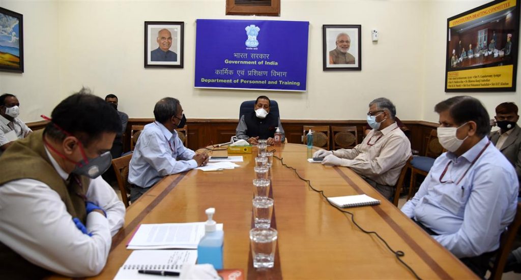
Daily Current Affairs Quiz 2020
Key-Points
They studied the discharge during periods in which the river experienced an increase in land elevation, due to the deposition of sediment) and its incision.
River Terraces are ubiquitous in mountains that nourish and help sustain past, present, and future human societies.
The researchers studied the discharge during periods of established river aggradation and incision of the Indus River, Ladakh Himalaya over late Quaternary.
They used geometric data from overlapping gravels of channel fills to calculate paleodischarges during net river aggradation at 47–23 ka (thousand years), and preserved slack water deposits (SWDs) at 14–10 ka to constrain paleodischarges that occurred during net river incision.
They observed that the aggradation in the Himalayan rivers occurred in glacial-interglacial transient warm climatic conditions (33–21 ka and 17–14 ka) when the sediment budget in the rivers increased just after the glacial events.