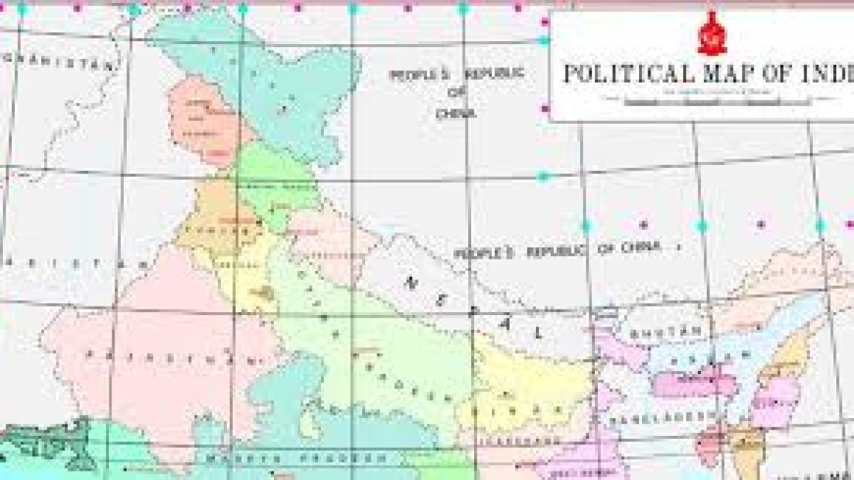
India set free the process of map making and generation of geospatial data, giving Indian private players the freedom to handle such information without prior approval or restriction.
Daily Current Affairs Quiz 2021
Mapping was till now remained a government preserve, handled by the Central government’s Survey of India. With the sweeping changes announced today, any Indian entity can take part in the process and profit from it.
Geospatial data is data about objects, events, or phenomena that have a location on the surface of the earth.
The location may be static in the short-term, like the location of a road, an earthquake event, malnutrition among children, or dynamic like a moving vehicle or pedestrian, the spread of an infectious disease.
Geospatial data combines location information, attribute information (the characteristics of the object, event, or phenomena concerned), and often also temporal information or the time at which the location and attributes exist.
Geo-spatial data usually involves information of public interest such as roads, localities, rail lines, water bodies, and public amenities.
The past decade has seen an increase in the use of geo-spatial data in daily life with various apps such as food delivery apps like Swiggy or Zomato, e-commerce like Amazon or even weather apps.